


Help map Oshawa’s Stormwater Management Master Plan
Published October 1, 2024 at 11:45 am
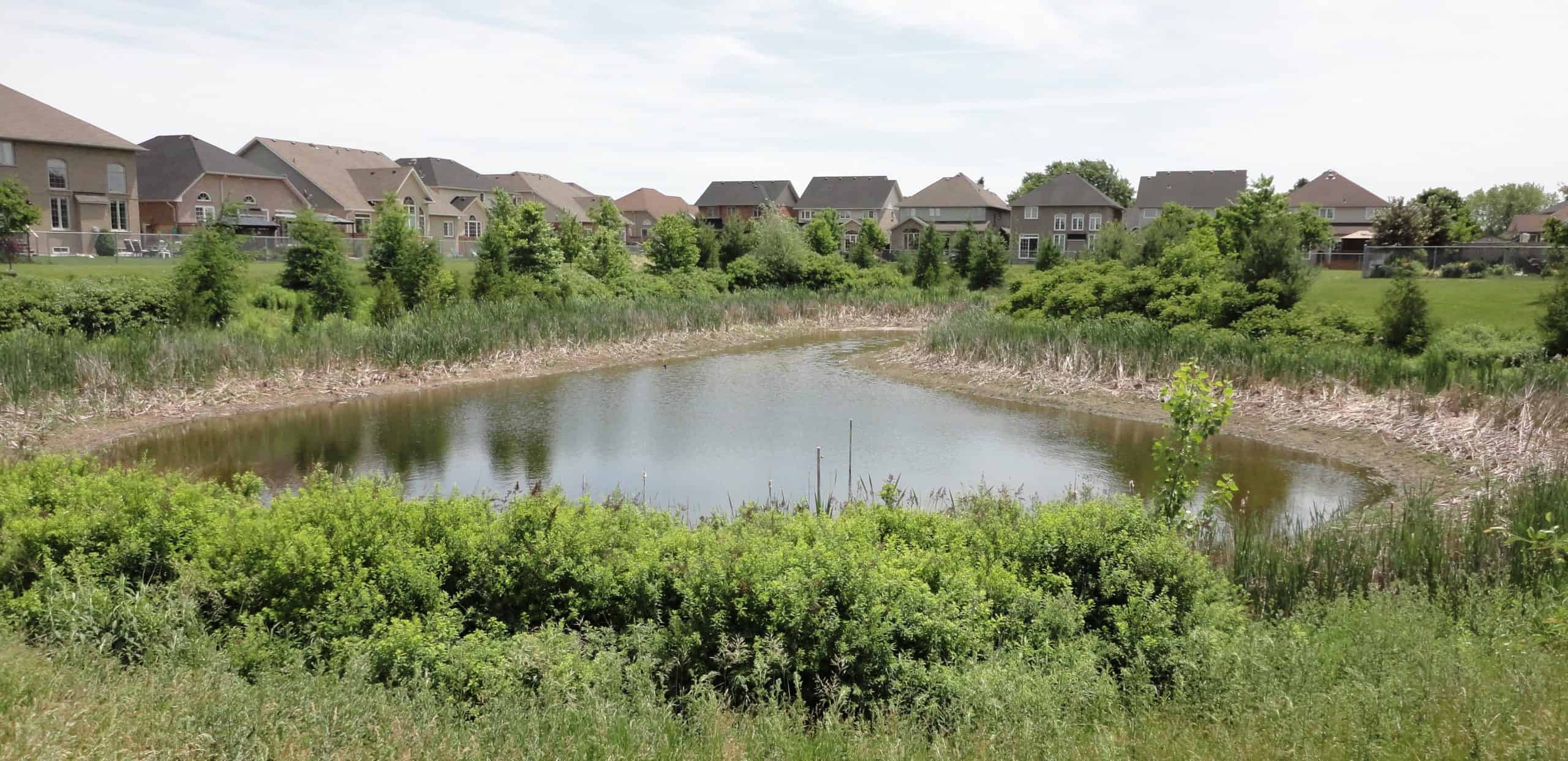
With rapid growth putting a strain on the city’s sewer system and neighbours in Toronto struggling with flooding this year from ageing infrastructure, Oshawa would like to ensure future growth is sustainable with its first consolidated Stormwater Management Master Plan.
The plan will be developed through a city-wide comprehensive study that will evaluate the effectiveness of existing key stormwater management infrastructure, develop stormwater management strategies and policies for sustainable growth through the year 2051, and recommend and prioritize rehabilitation actions and new works.
The Stormwater Management Master Plan, which is available to the public to review, will also consider the city’s watercourses, culvert crossings and stormwater management facilities.
Residents can review the project background and provide feedback by using the mapping tool at ConnectOshawa.ca/Stormwater to identify areas of the city where you have seen erosion, stormwater infrastructure deficiencies or flooding.
A paper version of the mapping tool is also available upon request through Service Oshawa at City Hall.
Oshawa will hold a public Open House on Wednesday, October 16 from 6 p.m. to 8 p.m. at the Civic Recreation Complex on Thornton Road. in Oshawa, with the deadline to submit questions noon on that day. A ‘drop-in’ session will be held at six followed by a formal presentation with question-and-answer period at 6:45 p.m.
The presentation will be available to view in advance on Connect Oshawa.
Residents and business owners can also review a paper version of the mapping tool and identify areas of erosion, stormwater infrastructure or flooding
Feedback on the tool will be received until noon on Thursday, October 31.
INdurham's Editorial Standards and Policies