


Pickering inviting public to help develop GIS strategic plan
Published March 23, 2022 at 4:09 pm
The City of Pickering is developing a Geographic Information Systems (GIS) Strategic Plan and is inviting the public to provide input.
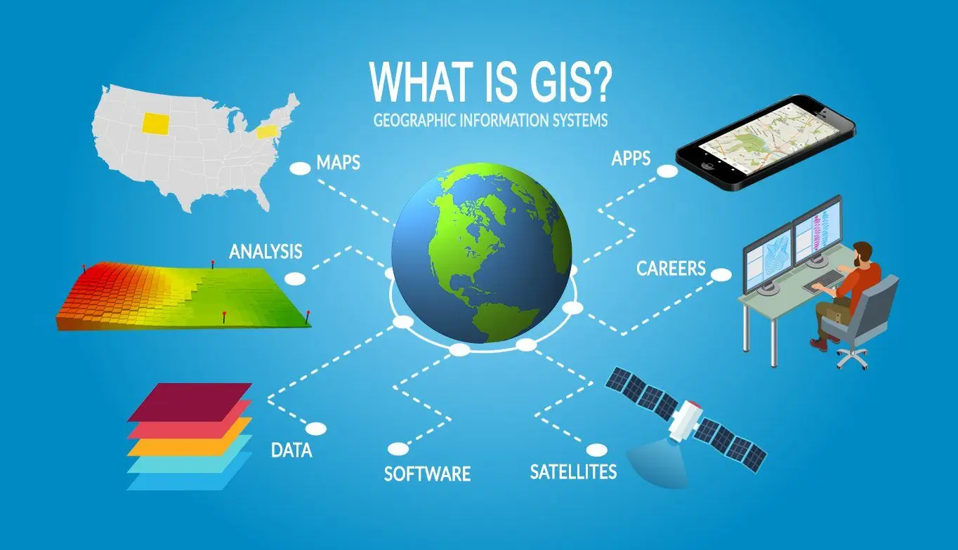
A geographic information system (GIS) is a system that creates, manages, analyzes, and maps all types of data. GIS connects data to a map, integrating location data with all types of descriptive information. This provides a foundation for mapping and analysis that is used in science and almost every industry.
GIS helps users understand patterns, relationships, and geographic context. The benefits include improved communication and efficiency as well as better management and decision making.
Information technology, coupled with a robust GIS, will improve the way the City tracks service delivery, disseminates data, and engages with the public using interactive and storytelling maps and open data platforms. Currently, Pickering offers a Maps and Open Data portal through GIS, which provides nine apps and story maps, and about 90 open data layers available for download.
Those interested in providing feedback can visit LetsTalkPickering.ca/GIS to learn more and complete the survey, which will help shape the GIS Strategic Plan. The survey closes April 4.
Public feedback will help shape the Corporate GIS Strategic Plan, which will go to Council for final endorsement. The plan will provide a unified GIS vision and five-year GIS Implementation and Business Road Map for the City.
INdurham's Editorial Standards and Policies